Steni . . .
Steni is a village in the north-eastern part of Tinos (Pano Meri).
According to the 2021 census, it has 265 inhabitants. It is the largest settlement of the municipality of Exombourgo and the fourth on the island (after Tinos Town (Chora), Agia Varvara and Pyrgos). The village is located at an altitude of 410 metres on the plateau of Livatheri, west of Tsiknias, the largest mountain on Tinos. Administratively, it belongs to the municipality of Tinos (municipality of Exomvourgo, municipality of Steni) in the South Aegean region. It was the seat of the former municipality of Sosthenio, then the seat of the former municipality of Steni and then, with the Kapodistrias programme, the seat of the municipality of Steni. It has been the seat of the municipality of Steni since 2011. The village was formed by the merger of Steni with two separate settlements, Sporados and Kamari, due to their settlement expansion.
It may have got its name from its elongated shape.
 |
 |
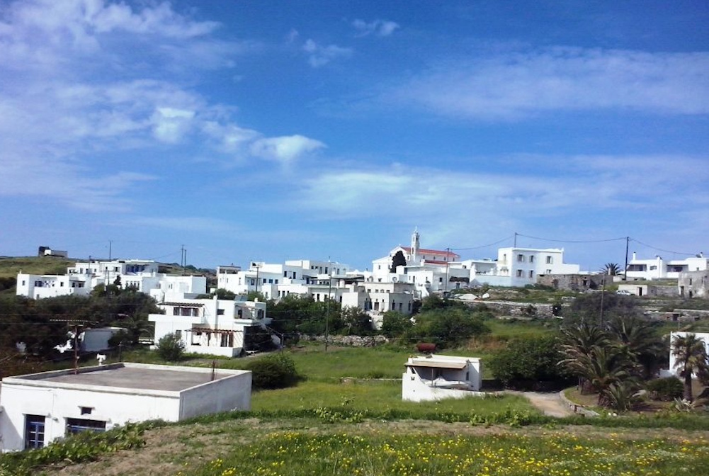
Left: View of Steni village from the south
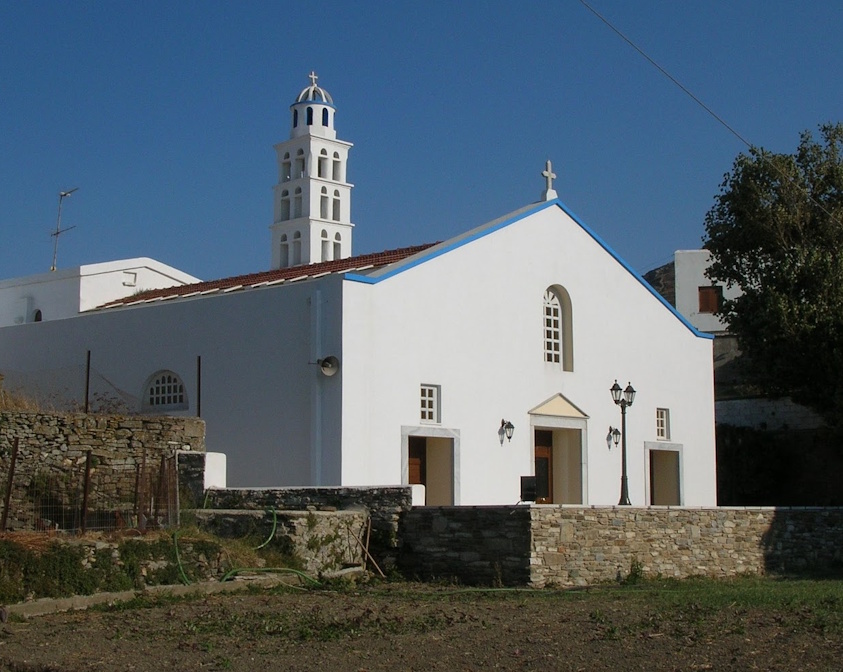
RRight: Aghios Nikolaos Steni
The village is mixed religiously, i.e. there are Orthodox (around 25 % of the population) and Catholics. There are two parishes. The most populous is the Catholic parish of Aghios Nikolaos in the centre of the settlement, while the Orthodox parish of Aghios Antonios is located in Kamari.
Until 2011, it was home to the three-form Steni Falatado primary school and the Steni kindergarten. Since November 2013, the school building has housed the lifelong learning centre of the municipality of Tinos. During the summer period from July to August, the village's folklore museum, which was jointly founded by the village's two cultural associations, is open. The inhabitants are mainly involved in construction, tourism, agriculture and livestock farming.
The rural clinic of Steni is located in the former primary school, which also houses the municipal office of Steni, where the municipal council meets.
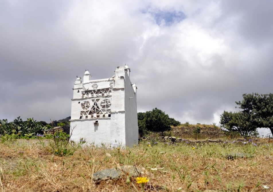
From Steni and through the network of footpaths of the municipality of Tinos, route M1, which passes through the ‘upper parts’ of Tinos, is marked for safe navigation. At the same time, there are dozens of other paths - country roads that lead to all the neighbouring villages and the areas around the village, where dozens of chapels such as Faneromeni, Aghios Dimitris and Prophet Elias are scattered, but also sights such as the peak of Tsiknias, the river of Livada, the valley of Potamia with dozens of dovecotes. The dirt roads lead to the beaches of Santa Margarita, Faneromeni and Aghios Dimitris.
 |
 |
Left: The valley of Potamia
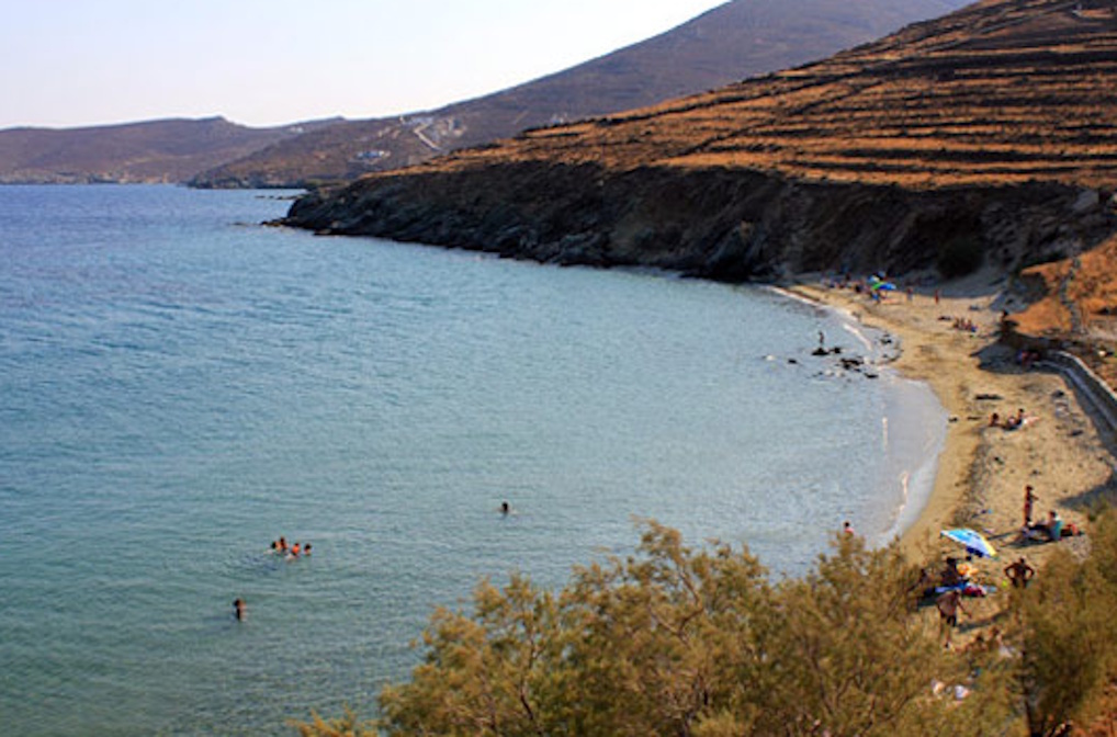
Right: Santa Margarita beach
Journalist Christina Vidou comes from Steni on her father's side.